
Protecting, enhancing, and restoring the Corte Madera Creek Watershed
We are Friends of Corte Madera Creek Watershed
Friends of Corte Madera Creek Watershed is dedicated to the protection, enhancement, and restoration of the natural ecosystems of the watershed, especially those relating to urbanized creeks and wetlands. We recognize that all activities, human and natural, within a watershed are interconnected, so that a wide range of issues must be addressed to meet these goals.
Our Projects
Friends has projects up and down the watershed. We are working on restoring Corte Madera Creek at College of Marin, improving fish passage in Kentfield and San Anselmo and managing habitat enhancement and restoration sites in Kentfield, among other activities.
All are welcome to join our Board Meetings, in person or via Zoom. The agenda and Zoom link can be found at Agenda Packet

About the Watershed
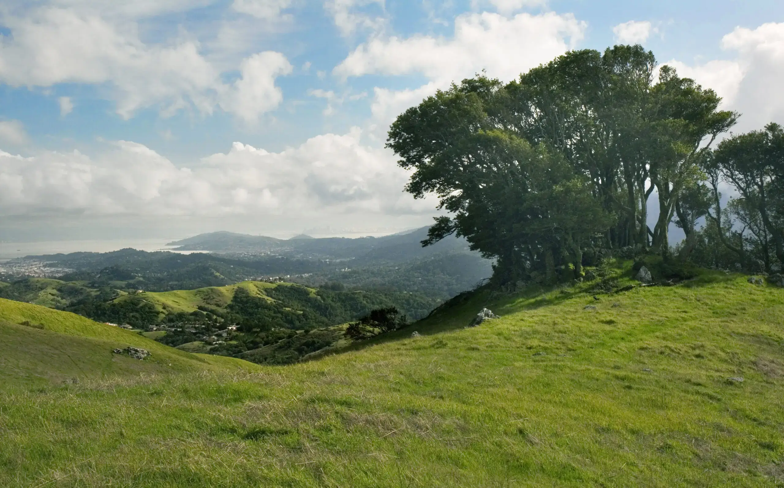
Lying in the rugged Coast Range some twelve miles north of San Francisco, the 28-square-mile Corte Madera Creek watershed drains into San Francisco Bay near San Quentin. The watershed includes a rich variety of habitats, from tidal wetlands to redwood forests.

Education & Outreach
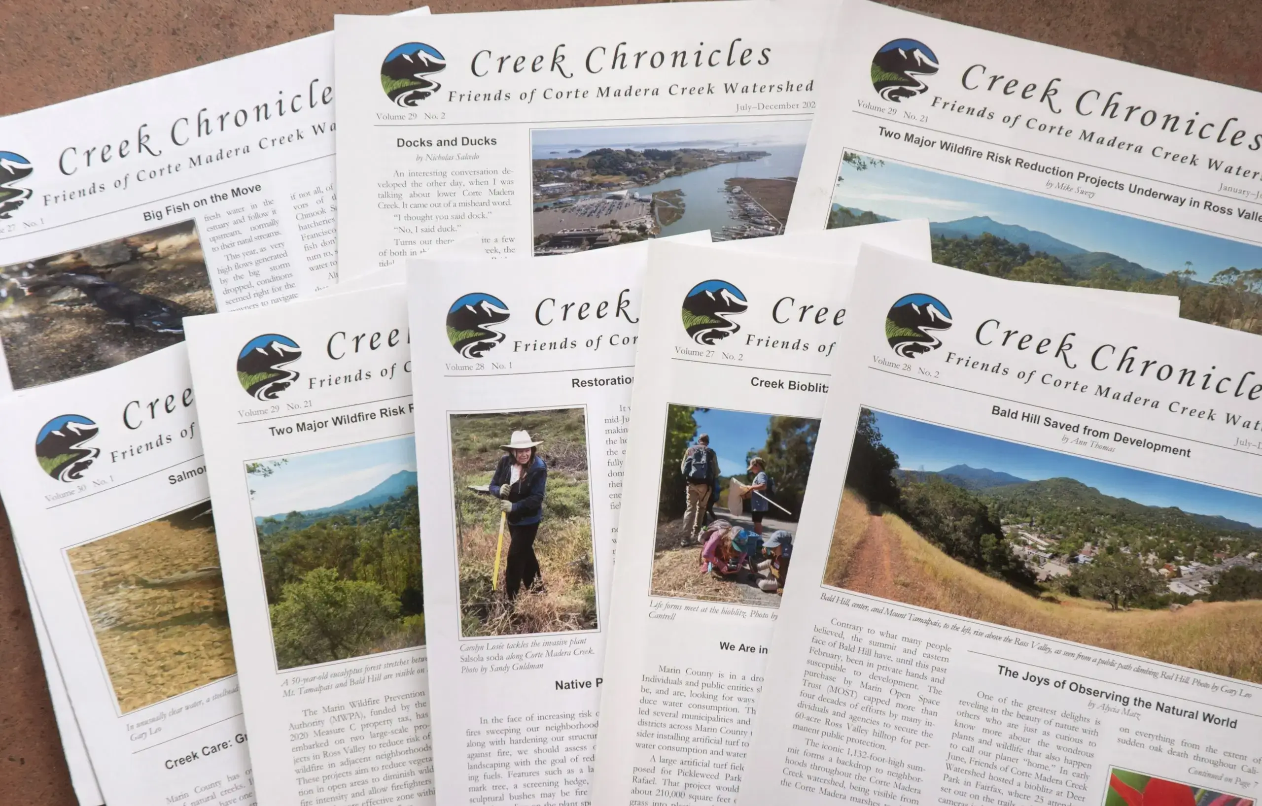
We share current and historical information about the watershed in our biannual newsletter, Creek Chronicles. We organize volunteer habitat enhancement and restoration and creek clean-up days, assist students with their community service, and host bioblitzes, events that identify and document the diverse plant and animal species in the watershed.
News Items
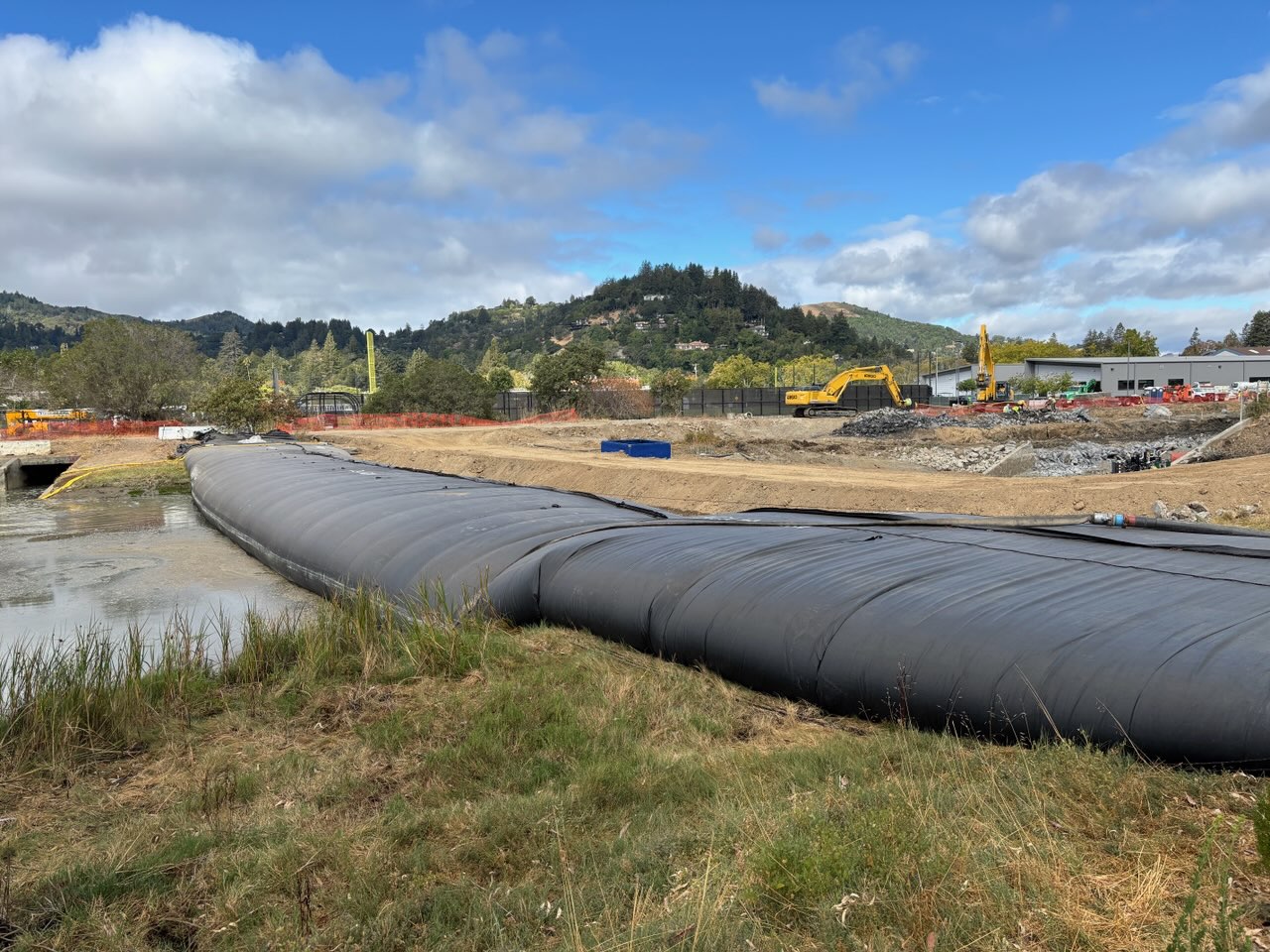
The Liberation of Corte Madera Creek
To keep tidal water out of the work area, a cofferdam was installed on September 1. It was essentially a large water balloon which gradually unrolled across the creek as it was pumped full of creek water. A temporary road installed upstream of the dam was used by heavy equipment travelling into the work site on the left bank so that the use of the multi-use path would not be disrupted. Water that leaked into the work area was pumped over the dam and into the creek. The dam was removed on October 13, two days before the mandated date.
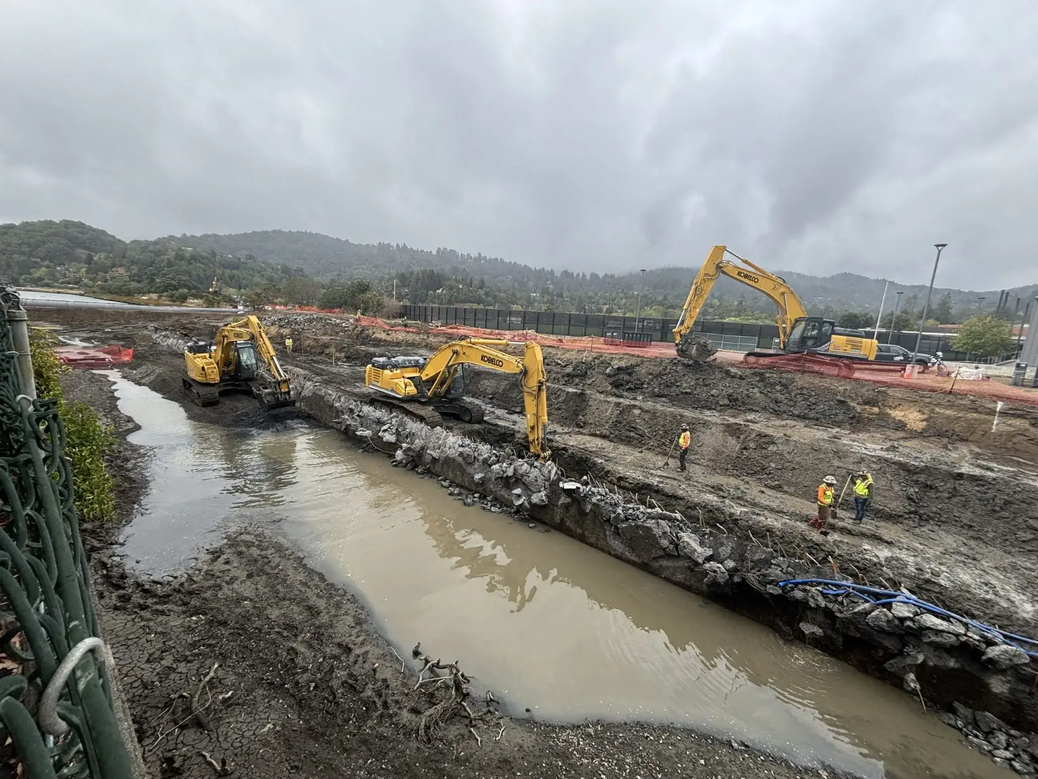
Removal of the Concrete Wall
After some soil was removed from behind the wall, an excavator, using brute force, was used to break off the top part of the wall in the downstream 350 feet of the right bank. The image shows the bent rebar and broken concrete. The next steps were to remove the ragged top by saw-cutting it off and installing a cap to prevent water from infiltrating into and degrading the remaining wall. It will be buried in soil and underwater, being below even the lowest tide. At the same time, the bank behind was graded to a gentle slope for revegetation.
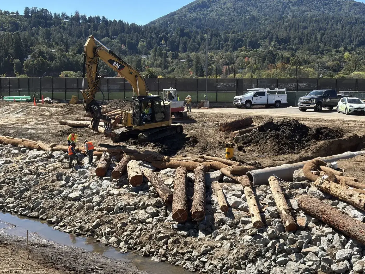
Stabilizing the Right Bank
To keep the right bank from eroding during very high flows, it was stabilized by boulders of various sizes, the largest weighing about 2 tons, to which logs were bolted. The logs, placed irregularly as shown, also provide refugia for fish and other aquatic organisms to shelter from fast-moving water, instead of being washed downstream. The boulders were later mostly buried in soil; the logs will be invisible at the highest tides. There will be more bulletins to come, as work progresses! Photos by Charles Kennard